
.svg)
Adaptive DeckGL Map
Advanced map widget for intuitive and interactive spatial data analysis
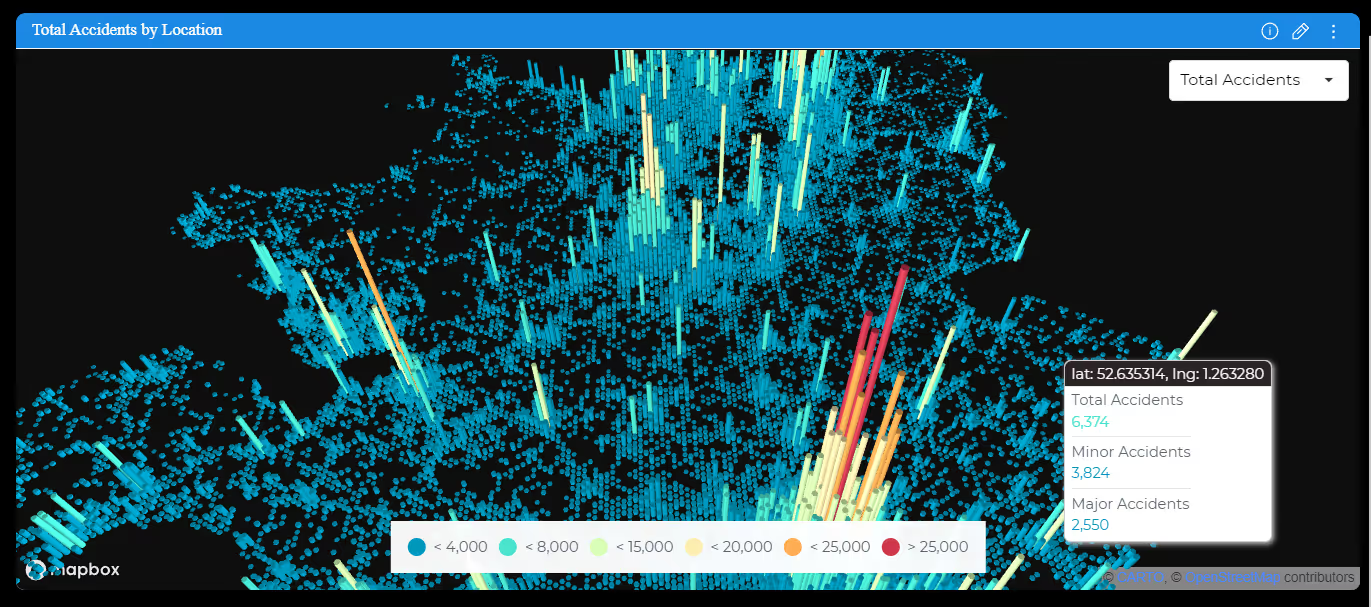
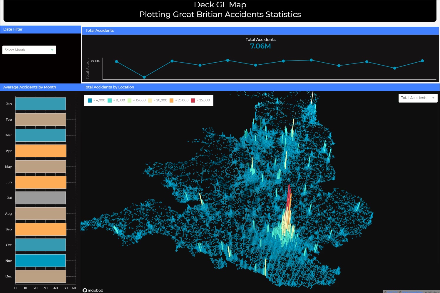
Unlock the power of spatial data with the DeckGL Map Plugin by Paldi Solution. This user-friendly plugin enhances your data visualization capabilities by displaying information as hexagons on interactive maps, facilitating deeper insights into spatial distributions and patterns. Powered by the advanced DeckGL library, the plugin offers a seamless and intuitive interface for exploring large-scale geospatial datasets with ease.
Key Features:
- Dynamic Measure Changer: Switch between metrics on the fly for deeper insights and analysis.
- HexagonLayer Mapping: Transform your data points into hexagonal bins for a comprehensive view of spatial distributions and patterns.
- Customizable Tooltips: Dive into your data with detailed tooltips that provide specific insights tailored to your analysis.
- Conditional Color Legends: Define your color schemes to effortlessly identify trends and outliers.
DeckGL Map Widget
DeckGL Map in a Dashboard

See this plugin in action
Get a personalized demo and discover how PALDI Solutions can transform your Sisense dashboards.
Book a free demo
Browse 70+ Certified Add-Ons
Go to Sisense Add-ons MarketplaceGo to Sisense Add-ons Marketplace
Enhance your Sisense Experience With our Top Rated Reporting Suite
Clients who use these with the Exports Enhancements
see faster adoption, richer insights, and greater ROI.
see faster adoption, richer insights, and greater ROI.


Flexi BloX
Build rich, custom layouts in Sisense dashboards with drag-and-drop control — no code needed
Best Seller
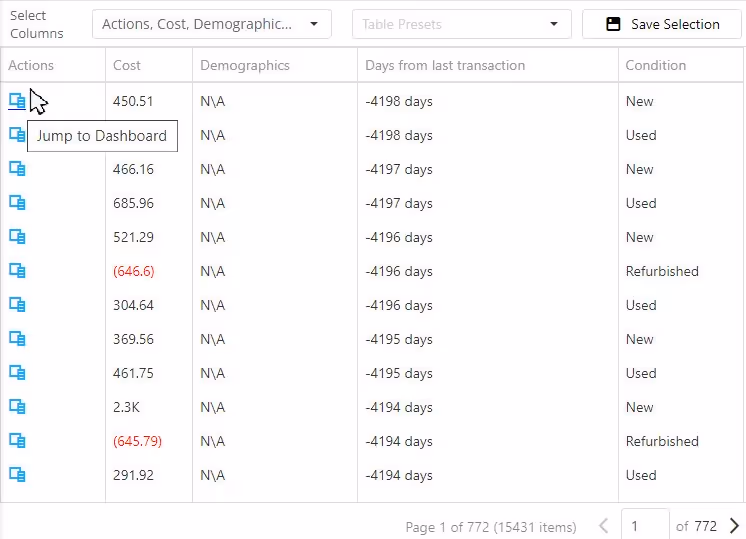
Advanced Table With Aggregation
Discover a vast array of powerful new capabilities to help elevate your tables to the next level!
Best Seller
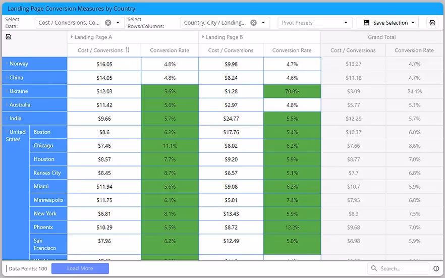
Advanced Expandable Pivot Table
Get maximum analytics capabilities with Paldi’s Expandable Pivot plugin.
Best Seller

Leave the implementation to us.
"With the help of Paldi Plugins, you can just click and it’s there.
We were able to leverage Sisense to create a better user experience from a designer and user perspective."

HAMZA
/ Head of Data Analytics
5x
Faster Dashboard Interactions
60+
Predefined Dashboards Launched
90%
of Non-Technical Users Onboarded